Menu
Weather forecast
Garda Lake
Ora and Peler are the two most winds famous Lake Garda and are often exploited by surfers. It is twenty induced to compensate for temperature differences and usually alternate with periodicity daytime. By day, the air in the Alpine valleys warms more than the lake. This causes little pressure to the north of Lake Garda and now starts to blow from the south. Now typically the blows from noon until sunset. The Peler (also called Wind) opposite the wind from the north, which normally blows from late evening until morning. The Peler reaches speeds maximum dawn.
The intensity of these two winds are proportional to the difference baric (in hectopascals [hPa]) between Bolzano and Brescia/Ghedi. Ora blows as soon as the pressure in Brescia/Ghedi high compared to Bolzano. High the difference baric, more the wind on Lake Garda. When the difference baric reverse (pressure; high in Bolzano compared to Brescia/Ghedi) blowing from the north opposite the Peler wind.
Situazione meteo attuale / Aktuelle Wetterlage
Sabato 19 Settembre 2026, ore 13:00 | Samstag, den 19. September 2026 um 13:00 Uhr
By Matteo Calzà
 Poo nuvoloso
 Leicht bewölkt
 |
||||||
 |
 |
 |
 |
 |
 |
 |
 |
 |
 |
||||
|
 |
 |
||||
 |
 |
 |
||||
 |
|
 |
||||
 |
 |
 |
||||
Temperatura dell'acqua / Wassertemperatur
|
Temperatura dell'acqua del lago - Wassertemperatur vom See Torbole 09/09/2026 Dati forniti da / Powered by www.campingmaroadi.it |
23.0°C |
BOLLETTINO DI OGGI / DIE WETTERVORHERSAGE VON HEUTE
|
|
|
|
Situazione Il tempo è stabile. |
Wetterlage Das Wetter ist stabil. |
|
Tempo previsto per le prossime ore. Cielo: poco nuvoloso con qualche possibile nube bassa notturna e nubi alte nel pomeriggio-sera. |
Wettervorhersage für die nächste Stunden Himmel: leicht bewölkt mit Resttiefwolken am Nacht und hohen Wolken am Nachmittag/Abend. |
| Mattina / Vormittag | |||
| Settore Gebiet |
Cielo Himmel |
Minima Tmin |
Vento Wind |
|
|
 |
14° | 2 m/s NE |
|
|
|
18° | 3 m/s N-NE |
|
|
 |
16° | 2 m/s VAR |


| Pomeriggio / Nachmittag | |||
| Settore Gebiet |
Cielo Himmel |
Massima Tmax |
Vento Wind |
|
|
 |
26° | 6 m/s S |
|
|
|
25° | 2 m/s S-SE |
|
|
|
26° | 2 m/s VAR |
I prossimi giorni / Die kommenden Tage
| Domani Morgen |
Martedì Dienstag |
Mercoledì Mittwoch |
|||
| a.m. | p.m. | a.m. | p.m. | a.m. | p.m. |
|
|
|
|
 |
|
| Min 17°C |
Max 27°C |
Min 15°C |
Max 24°C |
Min 15°C |
Max 22°C |
| Vento/Wind 2 m/s NE |
Vento/Wind 6 m/s S |
Vento/Wind 4 m/s N |
Vento/Wind 5 m/s VAR |
Vento/Wind 3 m/s NE |
Vento/Wind 8 m/s S-SE |
Sino a martedì il tempo sarà piuttosto soleggiato e caldo; fra mercoledì e giovedì probabili nubi basse ed affluso più fresco da est.
Bis Dienstag wird das Wetter meist sonnig und ziemlich warm sein; zwischen Mittwoch und Donnerstag sind Tiefwolken und Ostwind zu erwarten.
Radar Meteotrentino (Monte Macaion)
Precipitazioni istantanee

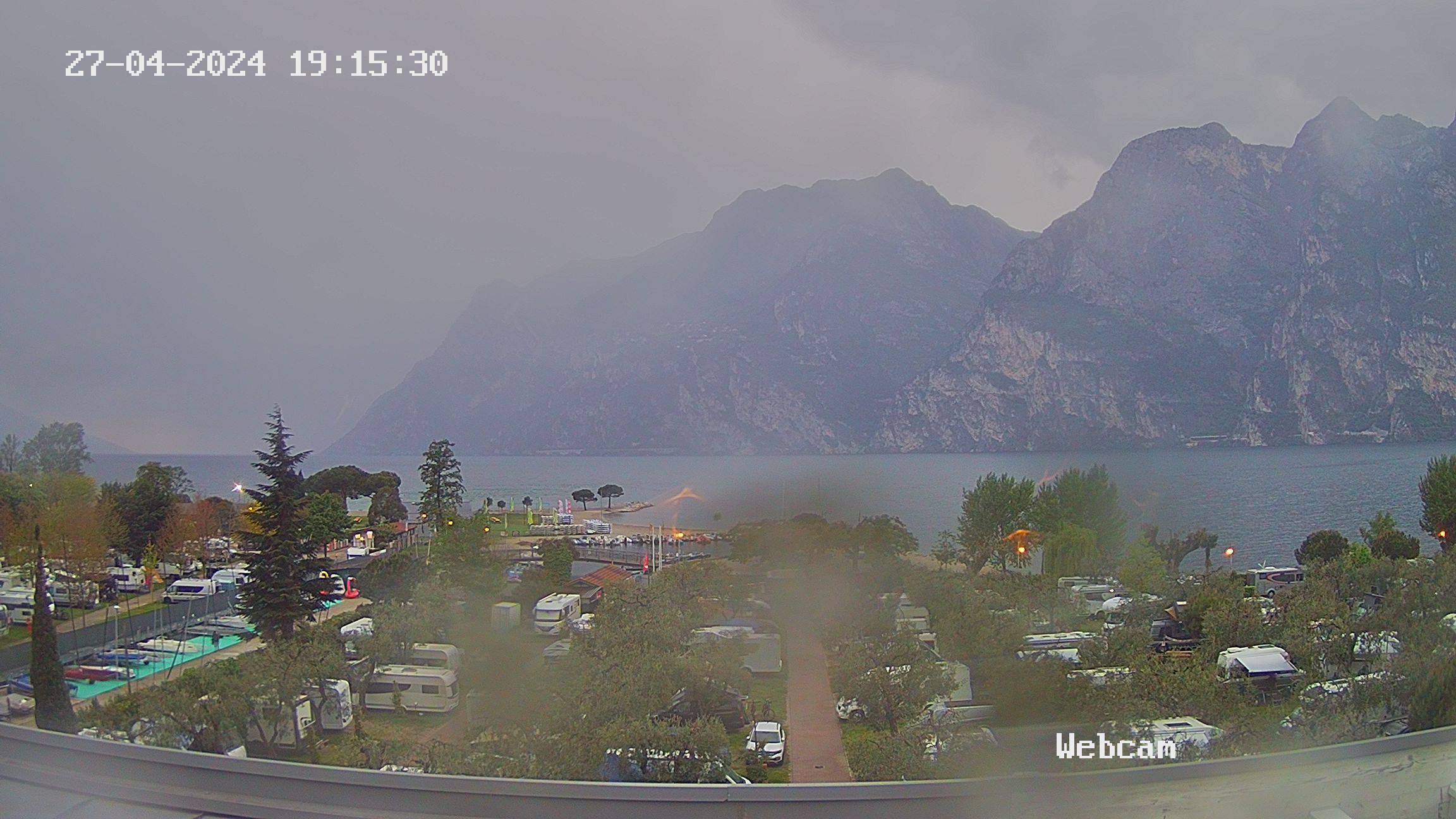
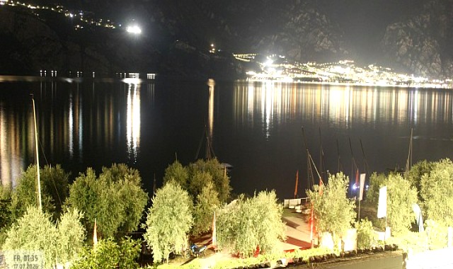
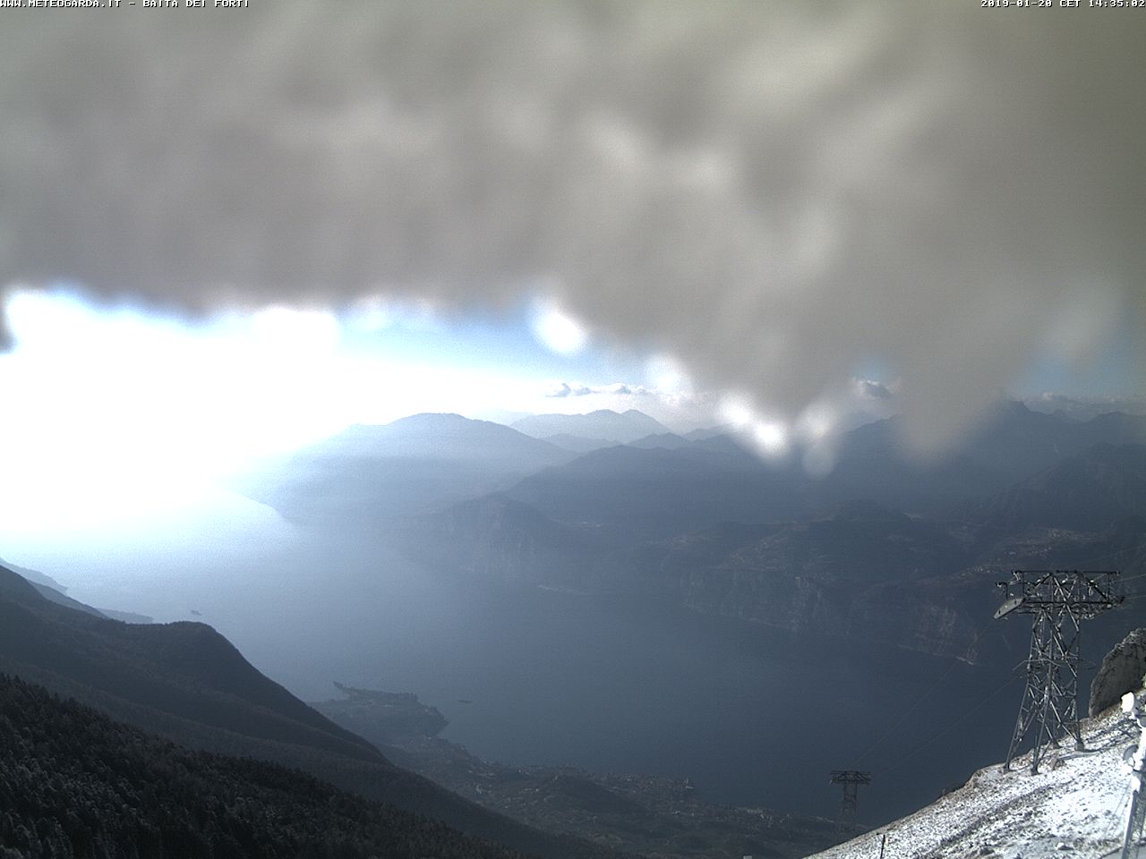
Webcam Garda Lake (Monte Baldo)
Metogrammi Vento